Search Warren County Property Records
Warren County Property Records are easiest to handle when you start with the office that controls the part of the file you need. In McMinnville, the assessor maintains parcel maps and physical details, while the county register and other record offices handle the document trail that shows how a property changed over time. If you are trying to confirm a parcel, review a map, or locate the recorded trail behind an address, the best first step is to match the question to the right county office. This page gathers the main Warren County Property Records paths together so the search stays local and practical.
Warren County Property Records Facts
Warren County Property Records Search
The most useful local starting point for Warren County Property Records is the assessor overview at warrencountytn.gov/government/property_assessor/overviewpa.php. The office says it maintains up-to-date maps of all parcels, shows parcel locations and physical characteristics, uses a CAD-based Geographic Information System, and updates master digital maps for new subdivisions, surveys, property splits, and parcel combinations. It also keeps printed paper maps available for public viewing. Those details matter because they show that Warren County parcel work is not just a static list of names. It is a working map system tied to the county file.
The CTAS county directory helps anchor the office names and the county seat. The Warren County profile identifies McMinnville as the county seat, Beth Martin as assessor at (931) 473-3450, and Wes Williams as register of deeds at (931) 473-2926. That combination of map support and office contact makes Warren County Property Records easier to approach because you can tell which question belongs with the assessor and which question belongs with the deed trail.
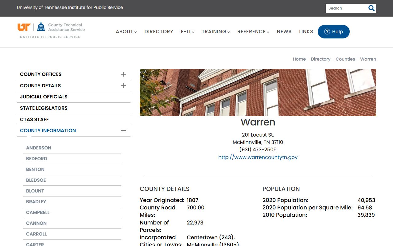
The county image fits here because the Warren County Property Records search begins with the county seat, the assessor, and the register contact structure identified in the research.
Warren County Assessment Records
Assessment records are the strongest starting point for Warren County Property Records when you have an address, parcel number, or a map question. The county assessor page explains that the office maintains parcel locations and physical characteristics, and that it updates digital maps when parcels are split, combined, surveyed, or added through new subdivision work. That is exactly the kind of record support that helps when a search begins with a street clue but not a deed reference. It tells you how the county is carrying the property now.
Warren County is also on a four to six year reappraisal cycle with regular on-site review. That matters because parcel value and physical characteristics can change over time as county staff update the record. For Warren County Property Records, the assessor side is not just a tax layer. It is the county's current parcel reference system, which means a user should confirm the parcel there before treating a recorded deed as the whole story.
Tennessee's assessment viewer is a useful state support page when you want a map cross-check, while the Division of Property Assessments and assessment schedule explain the broader framework behind local valuation work. Those pages do not replace Warren County Property Records, but they help explain how the county parcel trail stays aligned with Tennessee practice.
Warren County Property Records And Deeds
The recorded side of Warren County Property Records belongs with the county register of deeds. The CTAS county directory lists Wes Williams as the register, which gives searchers a direct office identity to use when the question is about a deed, mortgage, plat, or other recorded land instrument. Even when the assessor record is the first clue, the register office is the place that can confirm what was actually filed in the county books. That makes the deed side the permanent documentary layer behind the parcel data.
Warren County Property Records are most useful when the deed and the parcel record are compared side by side. The deed shows the recorded transfer, the names involved, and the filing date. The assessor side shows how the county is carrying the parcel now. If those records do not line up at first glance, the gap itself is useful because it tells you which part of the file needs a closer look. A one-record search can miss important context if the parcel has changed shape or been split since the last filing.
Tennessee's real property transfer tax guidance can help when the recorded packet includes transfer tax paperwork or an affidavit of value. That state material does not replace the McMinnville recording process, but it helps explain why a deed packet can include more than one form. The county register remains the office to confirm the recorded instrument itself.
McMinnville Property Records Access
McMinnville is the practical center of Warren County Property Records because the county seat is where the assessor and register contacts point users first. A focused request works best. If you already know the owner name, parcel number, map clue, or approximate filing date, start there. County offices can answer a narrow request faster than a broad request for every record tied to a parcel. That simple move saves time and keeps the search from bouncing between office types.
The county site at warrencountytn.gov is a useful broad starting point, but the assessor overview is still the best local guide for property-specific work. It tells you the office is maintaining maps, updating digital records, and keeping paper maps open for public viewing. That makes Warren County Property Records feel more like a working county file than a static web listing. When you need parcel context, the assessor route is usually the right first stop.
If the record you need is held by a Tennessee agency instead of by Warren County, the Comptroller's public records requests page is the proper state route. Most Warren County Property Records work still belongs with county offices in McMinnville, but state-held material should be requested from the office that controls it.
A good local workflow is to confirm the parcel in the assessor record, move to the register for the recorded instrument, and then compare the two together. That keeps Warren County Property Records tied to the correct office and gives the search a clear order.
Warren County Property Records Appeals
If the issue becomes a value dispute rather than a deed question, Warren County Property Records move into the appeal side of the file. Tennessee's State Board of Equalization and the value appeals guide explain how a valuation challenge moves through review and why the filing timeline matters. That is important when the assessor's map or value work leads to a question about whether the parcel is being carried correctly.
Warren County Property Records users may also need Tennessee's property tax relief and property tax programs pages when the tax side becomes relevant. Those pages help explain tax-side context, but they do not change the recorded deed trail or the assessor's parcel map. They simply help you read the account side with the right statewide frame in mind.
The cleanest appeal file usually starts with the county record itself. Keep the parcel identification, any notice date, and the county map or value support together. If the issue began in the assessor system, keep it there until you are sure it belongs in the appeal channel. That approach keeps Warren County Property Records organized and prevents separate county systems from being mixed into one vague complaint.
More County Pages
If you need another county after reviewing Warren County Property Records, use the live county pages below. Each page follows the same structure but stays tied to its own local offices and record trail.