Search Sumner County Property Records
Sumner County Property Records are centered in Gallatin, where the register of deeds, GIS system, assessor support, and county tax offices each handle a different part of the property file. If you are trying to compare a recorded deed to a parcel map, confirm who the county carries as owner, or sort out whether a tax-side question belongs with the register, the GIS portal, or another county office, the best approach is to start with the office that actually keeps that record. This page brings the main Sumner County Property Records routes together so the search stays tied to Gallatin and the county’s own systems.
Sumner County Property Records Facts
Sumner County Property Records Search
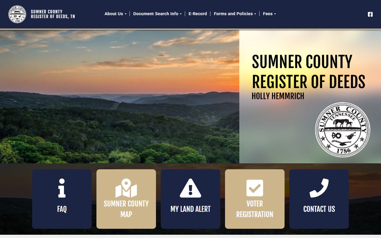
The strongest local sources for Sumner County Property Records are the register of deeds portal at deeds.sumnercounty.org and the county GIS portal at community.spatialest.com/tn/sumner/. The register research identifies Holly Hemmrich as register, with the office at 355 Belvedere Drive, Room 201, Gallatin, Tennessee 37066, phone number 615-452-3892, and email hhemmrich@sumnercountytn.gov. It also says the office has digitized all records for online access and keeps a public search room during business hours.
The GIS side matters just as much here. The county’s Spatialest portal describes itself as a real property data dashboard for assessment, tax data, sales, and property search, and it shows parcel boundaries, owner details, assessed value, and sales history. That makes Sumner County Property Records one of the clearer examples in the project where the county has split the record trail across a modern register portal and a separate county GIS and property-data system. A good search often needs both.
The register image belongs here because the recorded-document side is one of the strongest county-specific sources for Sumner County Property Records in this batch.
Sumner County Assessment Records
The project research says Sumner County operates an independent CAMA system, which means the county should not be framed around TPAD as the local working route. That is one of the most important points on the page. Sumner County Property Records are better served by the county’s own GIS and assessor-linked systems. The Spatialest portal specifically says users can view assessment and tax data, property details, parcel boundaries, sales history, and comparable sales through a map-based dashboard. That makes the county GIS side a practical first stop when the question begins with a parcel rather than with a deed book.
The city-side research also adds useful county context. In Gallatin, Hendersonville, and other Sumner County places, local property-tax pages still point back to county assessment and county GIS systems. That reinforces the county-centered structure of the property file. If an address or parcel question starts in a city, the county property record is still the place where the parcel, owner, and assessment information come together.
Tennessee’s Division of Property Assessments and the assessment schedule help explain statewide timing and valuation structure, but Sumner County Property Records should stay anchored to the county’s own independent systems rather than to TPAD, which the manifest marks as failed.
Sumner County Property Records And Deeds
On the recorded side, Sumner County Property Records belong with the Register of Deeds in Gallatin. The register research says records are certified back to September 1989, online search is available through U.S. Title Search, a public search room is available during business hours, and e-recording is supported. That gives the county deed side a strong digital path while still keeping the courthouse office central for certified copies, in-person searching, and questions that an online result does not fully answer.
The register research also notes that the office has digitized all records for online access and that a mobile app is available. Those are not just convenience features. They show that Sumner County Property Records are meant to be used across several access modes at once. A user may start with the app or online portal, cross-check the parcel in GIS, and then go to the office or search room for confirmation. That layered county setup is part of what makes this page different from thinner counties that rely on only one source.
Tennessee’s real property transfer tax guidance still helps explain state-side conveyance paperwork. That guidance does not replace the Gallatin register process, but it provides context when a recorded transfer includes tax forms or supporting documents beyond the deed itself.
Gallatin Property Records Access
Gallatin is the practical center of Sumner County Property Records access because the register office is there and because the county GIS and county-government functions are closely tied to Gallatin’s county-seat role. The best local strategy is to match the request to the system that controls the file. Start with the GIS and assessor side when the issue is parcel identity, assessed value, owner display, or map context. Start with the register when the issue is a recorded deed or another land instrument. That order keeps the search tied to the office and system that actually maintain the file.
The county government research also identifies the assessor and trustee through the Sumner County site, which helps clarify that the tax-account side is different from the deed and parcel sides. Sumner County Property Records are easier to use when the parcel, deed, and tax systems are treated as connected but separate county functions rather than as one general property search.
If the record you need is state-held instead of county-held, the Comptroller’s public records requests page is the proper state route. Most Sumner County Property Records work still belongs with county offices and county portals first, but state-held files should be requested from the office that controls them.
Sumner County Property Records Appeals
If a parcel or valuation issue turns into a formal dispute, the appeal path can move from local review to the Tennessee State Board of Equalization. The value appeals guide explains the filing rule tied to August 1 or 45 days after local board action notice. That timing matters because a property-data portal can make a value issue visible quickly, but the formal review path still depends on keeping the notice, parcel record, and supporting facts together.
The tax side can also connect to Tennessee’s property tax relief and property tax programs pages. Those pages help qualifying owners understand the tax-side context without changing the deed trail or the county’s parcel record.
A sound appeal file usually starts with the county system that raised the question. If the issue begins in GIS or a parcel record, keep that county data with the notice. If it begins in a recorded document, compare it with the parcel system before assuming the problem is only on the deed side.
More County Pages
If you need another county after reviewing Sumner County Property Records, use the live county pages below. Each page follows the same structure but stays tied to its own local offices and record trail.