Search Hendersonville Property Records
Hendersonville Property Records are easiest to search when you start with the record type, then move into the Sumner County systems that actually hold the parcel, deed, and tax data. If you need to confirm an address, match a parcel to the map, or obtain a recorded document, the best first step is to use the county office or dashboard that controls that part of the file. This page gathers the main Hendersonville Property Records routes together so the search stays local, stays tied to Sumner County, and stays focused on the exact record you want to obtain or verify.
Hendersonville Property Records Facts
Hendersonville Property Records Search
The clearest local starting point for Hendersonville Property Records is the Sumner County Register of Deeds site at deeds.sumnercounty.org. The research notes that records are certified back to September 1989 and that the register office can be reached at phone number (615) 452-3892. That matters because Hendersonville Property Records searches often begin with a recorded deed, a book reference, or an older instrument that still needs to be matched to the current parcel trail. The register site gives you the county office that actually maintains the recorded document rather than pushing the search through a generic directory.
The Hendersonville research also says the search is online by address and that tax and assessment data come from county systems. That makes the city page useful as an entry point, but not as a substitute for the county file. If you start with an address, the county register helps with recorded documents while the GIS and assessment tools help connect the address to the parcel. Hendersonville Property Records work best when those two pieces stay linked but separate long enough to understand what each one proves.
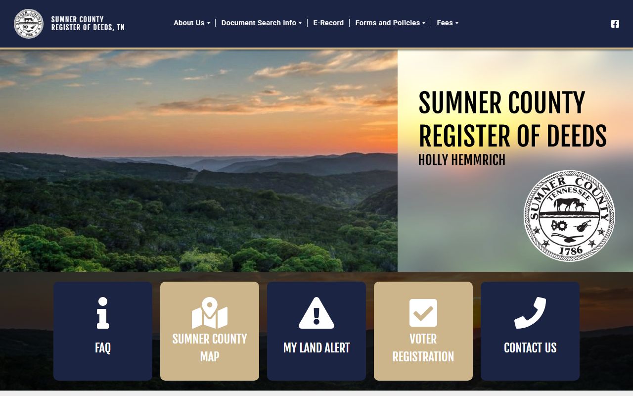
The register image fits here because Hendersonville Property Records rely on the Sumner County recording office for the deed side of the search.
Hendersonville Property Records And GIS
The county GIS dashboard at community.spatialest.com/tn/sumner/ is a major part of Hendersonville Property Records because it shows assessment and tax data online in a map-based format. That makes it useful when the search starts with an address and you need to see how the parcel sits in the county layout before you ask for a recorded document. For many Hendersonville searches, the GIS view is the fastest way to move from a street clue to a parcel clue.
The dashboard matters because it brings assessment, tax, and map data into one place. That helps when the parcel boundaries, sales history, or tax display need to be compared with a deed or address. Since Sumner County operates an independent CAMA system, Hendersonville Property Records should not be framed around TPAD as the active local route. The county GIS and register systems are the better tools because they reflect how Sumner County actually manages its property record structure.
Using the GIS and register together usually produces a cleaner search. The map tells you which parcel to follow. The register tells you what was recorded. When the two match, the property record becomes much easier to read.
Hendersonville Property Records And Deeds
The deed side of Hendersonville Property Records belongs with the Sumner County register office. The official register site provides the recorded-document search, and the research says the office keeps records certified back to September 1989. That gives Hendersonville users a clear path for obtaining a deed, a release, a mortgage, or another recorded instrument without needing to guess which office holds the file. If the question is about what was filed, the register office is the right county source.
That recorded side should not be confused with the assessment side. The GIS dashboard can show tax and assessment data, but that does not replace the recorded instrument itself. A Hendersonville Property Records search is stronger when it starts with the record type and then moves to the office that controls that record. A deed answers one question. A parcel display answers another. Putting them together is what makes the file understandable.
Tennessee’s real property transfer tax guidance is a useful state reference when a filing includes transfer paperwork or supporting forms. It does not replace the Sumner County register, but it can help explain why a transfer packet contains more than a single recorded page.
Hendersonville Property Records Tax Data
Tax and assessment data are a major part of Hendersonville Property Records because the county GIS dashboard shows both online. That makes the city useful for quick checks on parcel context, assessed value, and map placement. If an owner is trying to understand why a bill looks the way it does, the county tax and assessment data are the record set to review first. The address search on the dashboard can move the search from a general city location into a specific county parcel without much friction.
Because Sumner County uses an independent CAMA system, Hendersonville Property Records should stay centered on the county’s own tools instead of a dead TPAD route. The state Division of Property Assessments and the assessment viewer remain useful support sources for parcel context, but the county GIS page is the most direct local tool in this case. If you need to cross-check a parcel by map, the dashboard is the better starting point than a state fallback.
That approach keeps the search practical. The GIS tells you how the county is carrying the parcel now. The register tells you what was filed. The two records are related, but they answer different questions.
Hendersonville Property Records Access
Hendersonville Property Records access is convenient because the research says the search can be done online by address. That means users do not have to begin with a book reference or a filing date if they already know where the property sits. An address search can move the record review into the county systems quickly, which is useful when the user wants to confirm ownership, check parcel context, or see how the property is appearing in the county data.
The county office contact matters too. The register office phone number is (615) 452-3892, and that gives Hendersonville users a direct line for document questions tied to the recorded land trail. When the issue is a copy request, an older recording, or a question about whether a document is in the certified record set, the register office is still the right place to ask. Hendersonville Property Records are easier to handle when the search begins with a specific address and then moves to the office that controls the record.
If the file you need is state-held instead of county-held, the Tennessee Comptroller’s public records requests page is the proper route. Most Hendersonville Property Records searches will stay with Sumner County’s register and GIS tools first, but the state request page remains useful for records outside the county chain.
A good workflow is simple. Start with the address in GIS. Confirm the parcel in county data. Then use the register when you need the actual recorded document. That keeps the record search focused and avoids mixing a parcel review with a deed request.
Hendersonville Property Records Appeals
When a Hendersonville Property Records issue becomes a value dispute, the appeal side comes into play after the parcel and assessment data are reviewed. The Sumner County GIS dashboard can help show the parcel context that led to the value question, and Tennessee’s State Board of Equalization plus the value appeals guide explain the state review process. Those pages matter when the issue is assessed value rather than the recorded deed itself.
The tax side can also connect to the Tennessee property tax relief and property tax programs pages. Those resources can help explain tax-side outcomes once the parcel and assessment data are already clear, but they do not replace the county record.
The safest approach is to keep the file sorted from the beginning. Use the GIS for parcel context. Use the register for deeds and certified records. Move into state appeal pages only when the issue is truly about valuation review. That structure keeps Hendersonville Property Records clear and keeps each record type tied to the office that controls it.
Sumner County Property Records
Hendersonville Property Records depend on Sumner County for the register, GIS, tax, and assessment systems behind the city search. Use the county page if you need the broader property-record structure behind a Hendersonville lookup.
Other Tennessee Cities
Use the city pages below to connect a Tennessee city to the county parcel, deed, and tax offices that actually keep its property records.