Search Bartlett Property Records
Bartlett Property Records are easiest to search when you split the city tax and GIS tools from the Shelby County assessment system that controls the parcel file behind them. If you need to look up a tax balance, check map layers such as zoning or flood zones, or connect a Bartlett address to the county property record, the search works best when each system stays in its proper role. This page brings the main Bartlett Property Records routes together so the city tax and mapping side can be matched cleanly to the Shelby County parcel and assessment side.
Bartlett Property Records Facts
Bartlett Property Records Search
The strongest city-facing entry point for Bartlett Property Records is the city tax-information page at cityofbartlett.org/government/tax-information. The research says the city’s property-tax collection period runs from October through February, rates can vary by ward and special district, and residential property is assessed at 25 percent of appraised value while commercial property is assessed at 40 percent. It also notes that outstanding balances do not include penalties and interest and that balance updates can take up to 24 hours. Those details matter because a Bartlett search often begins with a current tax question rather than with a parcel map or deed.
Bartlett Property Records also benefit from the city GIS portal at bartlettcitysource.com/government/departments/geographic-information-systems. That page says the city offers an interactive GIS map with zoning, land use, flood zones, address or parcel search, aerial imagery, and utility layers. That gives Bartlett users a city-level way to identify the property before moving into the county assessment record that underlies the tax and parcel file.
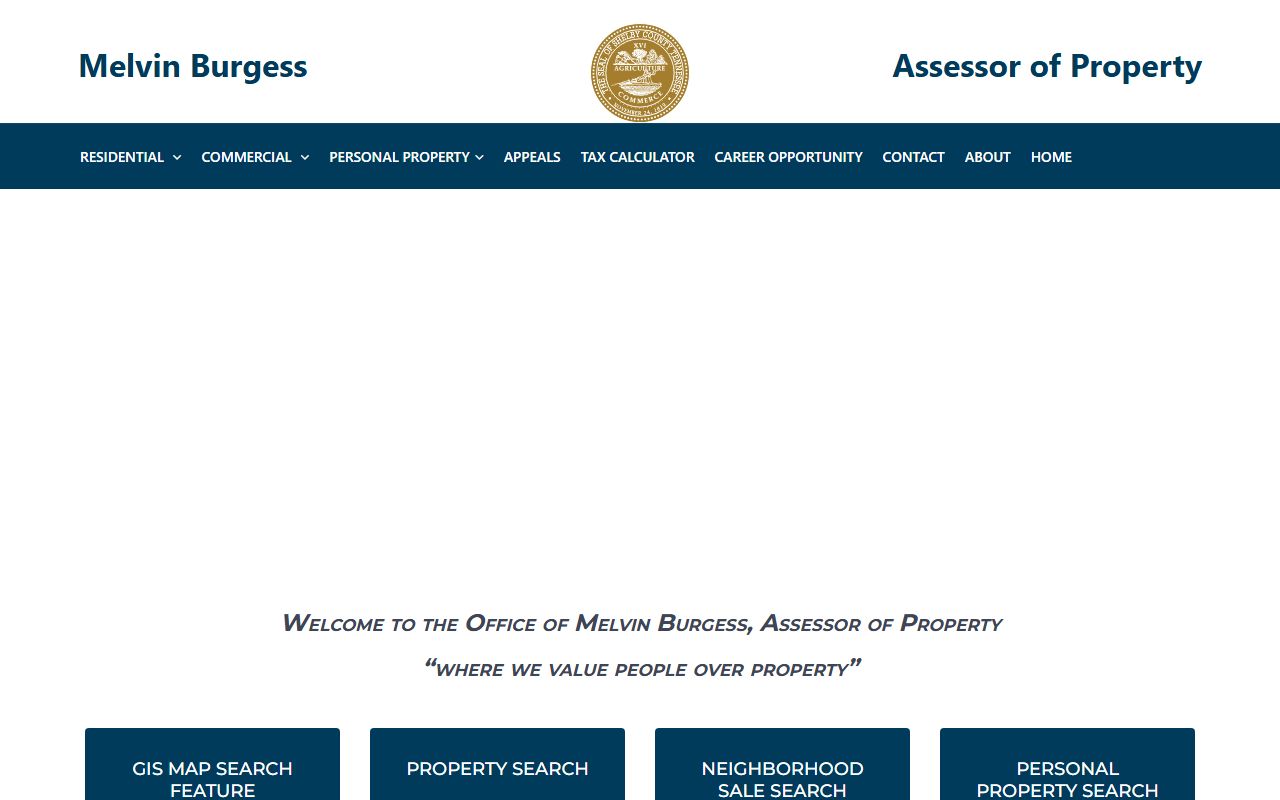
The assessor image fits this page because Bartlett Property Records ultimately depend on Shelby County assessment support once the city tax and GIS tools identify the parcel.
Bartlett Property Records And Taxes
The city tax page is important because it explains how Bartlett presents the billing side of the property record. If the issue is a current balance, the collection period, or how long it takes a payment to show up, the city page is the right first stop. The note about ward and special-district variation is also useful because it tells users that Bartlett tax outcomes may differ across parts of the city even before the county parcel side is reviewed.
The same page also says Shelby County Assessor is the assessment authority and Shelby County Trustee handles billing. That is the key split in Bartlett Property Records. The city helps explain the tax side, but the county controls the parcel assessment file behind it. A city tax question often needs to be checked against the county parcel record before it makes full sense. If the tax amount looks wrong, the assessed value or classification may be the real issue.
Tennessee’s property tax relief and property tax programs pages are useful after the city bill and county parcel record have been matched and the question turns to broader tax support.
Bartlett Property Records And Maps
The GIS side matters more in Bartlett than in many city pages because the research gives a strong city mapping portal. The city GIS tool supports address and parcel search plus layered zoning, land-use, flood-zone, aerial, and utility data. That means Bartlett Property Records can start with a geographic view rather than a name search alone. If the question is where the parcel sits, how it lines up with nearby tracts, or whether a flood or zoning layer may affect the property, the city GIS page is the right opening move.
That city map search should still be treated as the first layer, not the whole record. Shelby County Assessor remains the county assessment authority, and the research says Shelby uses an independent CAMA system. That means Bartlett Property Records should not be framed around TPAD, which the manifest marks as failed. The local path is the city tax page, city GIS, and county assessor support, not a dead statewide route.
Bartlett Property Records Appeals
When a value issue develops, the appeal side of Bartlett Property Records belongs with the county assessment system rather than with the city tax page alone. The city page helps explain assessment ratios and the collection period, but Shelby County controls the assessment authority. That means a valuation disagreement must be tied back to the county parcel and appraisal side rather than handled only as a city billing question.
Tennessee’s State Board of Equalization and the value appeals guide explain the broader review path after local county action. The safest approach is to keep the issue sorted: city page for billing context, city GIS for location context, county assessor for parcel and value questions, and state appeal resources only when the issue is truly about assessment review.
Shelby County Property Records
Bartlett Property Records depend on Shelby County for the assessment authority and broader county property file behind the city tax and GIS tools. Use the county page if you need the larger county context behind a Bartlett search.
Other Tennessee Cities
Use the city pages below to connect a Tennessee city to the county parcel, deed, and tax offices that actually keep its property records.